Saint-Sauveur-la-Pommeraye | |
|---|---|
 The church of Saint-Sauveur | |
Location of Saint-Sauveur-la-Pommeraye | |
 Saint-Sauveur-la-Pommeraye 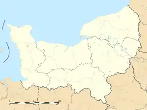 Saint-Sauveur-la-Pommeraye | |
| Coordinates: 48°50′49″N 1°26′38″W / 48.8469°N 1.4439°W | |
| Country | France |
| Region | Normandy |
| Department | Manche |
| Arrondissement | Avranches |
| Canton | Bréhal |
| Government | |
| • Mayor (2020–2026) | Violaine Lion[1] |
| Area 1 | 5.27 km2 (2.03 sq mi) |
| Population | 404 |
| • Density | 77/km2 (200/sq mi) |
| Time zone | UTC+01:00 (CET) |
| • Summer (DST) | UTC+02:00 (CEST) |
| INSEE/Postal code | 50549 /50510 |
| Elevation | 64–131 m (210–430 ft) (avg. 117 m or 384 ft) |
| 1 French Land Register data, which excludes lakes, ponds, glaciers > 1 km2 (0.386 sq mi or 247 acres) and river estuaries. | |
Saint-Sauveur-la-Pommeraye (French pronunciation: [sɛ̃ sovœʁ la pɔmʁɛ]) is a commune in the Manche department in Normandy in north-western France.[3]
See also
References
- ↑ "Répertoire national des élus: les maires". data.gouv.fr, Plateforme ouverte des données publiques françaises (in French). 2 December 2020.
- ↑ "Populations légales 2021". The National Institute of Statistics and Economic Studies. 28 December 2023.
- ↑ INSEE commune file
Wikimedia Commons has media related to Saint-Sauveur-la-Pommeraye.
This article is issued from Wikipedia. The text is licensed under Creative Commons - Attribution - Sharealike. Additional terms may apply for the media files.