San Francisco | |
|---|---|
Municipality and town | |
.svg.png.webp) Flag | |
 Location of the municipality and town of San Francisco in the Antioquia Department of Colombia | |
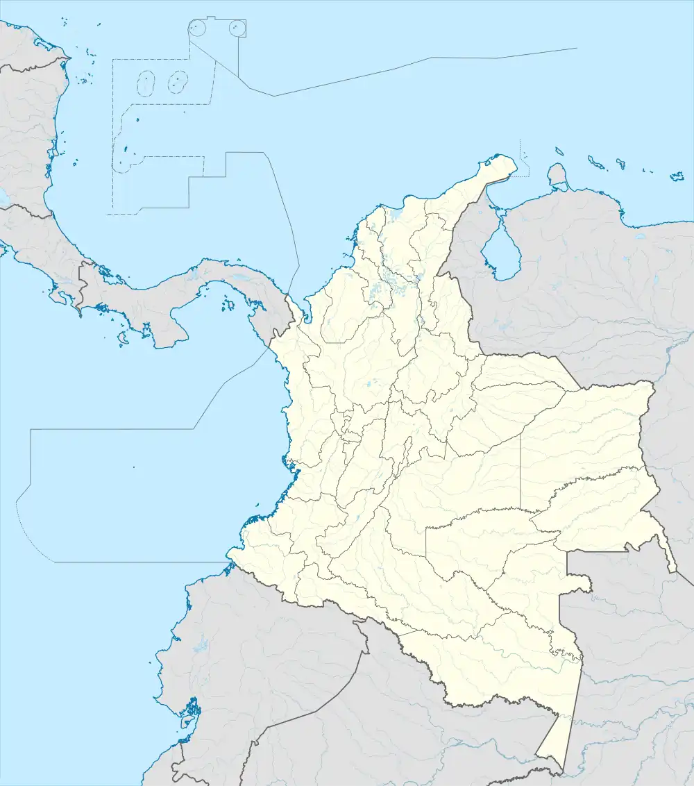 San Francisco Location in Colombia | |
| Coordinates: 5°57′51″N 75°6′6″W / 5.96417°N 75.10167°W | |
| Country | |
| Department | |
| Subregion | Eastern |
| Elevation | 1,250 m (4,100 ft) |
| Population (2015) | |
| • Total | 5,318 |
| [1] | |
| Time zone | UTC-5 (Colombia Standard Time) |
| Website | |
San Francisco is a town and municipality in Antioquia Department, Colombia. It is part of the subregion of Eastern Antioquia. In 2015, the population comprised 5,318 people.
History
San Francisco was previously known as El Morrón.
It was founded in 1830 as part of the municipality of Cocorná. In February 1986 was established as a municipality with the name of San Francisco, in memory of Saint Francis of Assisi.
Climate
San Francisco has a tropical rainforest climate (Af). It has very heavy rainfall year-round.
| Climate data for San Francisco | |||||||||||||
|---|---|---|---|---|---|---|---|---|---|---|---|---|---|
| Month | Jan | Feb | Mar | Apr | May | Jun | Jul | Aug | Sep | Oct | Nov | Dec | Year |
| Mean daily maximum °C (°F) | 25.9 (78.6) |
26.0 (78.8) |
25.8 (78.4) |
25.9 (78.6) |
26.0 (78.8) |
26.1 (79.0) |
26.3 (79.3) |
26.4 (79.5) |
26.0 (78.8) |
25.8 (78.4) |
25.6 (78.1) |
25.8 (78.4) |
26.0 (78.7) |
| Daily mean °C (°F) | 21.7 (71.1) |
21.8 (71.2) |
21.7 (71.1) |
21.8 (71.2) |
21.8 (71.2) |
22.0 (71.6) |
22.0 (71.6) |
21.9 (71.4) |
21.7 (71.1) |
21.5 (70.7) |
21.5 (70.7) |
21.7 (71.1) |
21.8 (71.2) |
| Mean daily minimum °C (°F) | 17.2 (63.0) |
17.5 (63.5) |
17.5 (63.5) |
17.4 (63.3) |
17.4 (63.3) |
17.3 (63.1) |
17.1 (62.8) |
17.0 (62.6) |
17.0 (62.6) |
17.0 (62.6) |
17.1 (62.8) |
17.3 (63.1) |
17.2 (63.0) |
| Average rainfall mm (inches) | 292.2 (11.50) |
286.6 (11.28) |
379.5 (14.94) |
493.9 (19.44) |
525.3 (20.68) |
346.1 (13.63) |
339.5 (13.37) |
427.3 (16.82) |
584.9 (23.03) |
610.9 (24.05) |
572.9 (22.56) |
374.8 (14.76) |
5,233.9 (206.06) |
| Average rainy days | 17 | 17 | 20 | 23 | 23 | 19 | 18 | 20 | 23 | 25 | 25 | 21 | 251 |
| Average relative humidity (%) | 89 | 89 | 89 | 89 | 89 | 89 | 88 | 88 | 90 | 90 | 90 | 90 | 89 |
| Source: [2] | |||||||||||||
Demographics
Total Population: 5 318 people. (2015)[1]
- Urban Population: 2 446
- Rural Population: 2 872
Literacy Rate: 75.5% (2005)[3]
- Urban Areas: 77.9%
- Rural Areas: 74.2%
References
- 1 2 "Resultados y proyecciones (2005-2020) del censo 2005". DANE. May 1, 2015.
- ↑ http://www.ideam.gov.co/documents/21021/553571/Promedios+Climatol%C3%B3gicos++1981+-+2010.xlsx/f28d0b07-1208-4a46-8ccf-bddd70fb4128
- ↑ Censo oficial DANE 2005, Perfiles Departamentos y Municipios Archived 2008-07-26 at the Wayback Machine
Capital: Medellín | |||||||||||||||||||
| Regions and municipalities |
| ||||||||||||||||||
| Related topics | |||||||||||||||||||
This article is issued from Wikipedia. The text is licensed under Creative Commons - Attribution - Sharealike. Additional terms may apply for the media files.