 | |
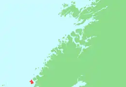
 Linesøya Location of the island 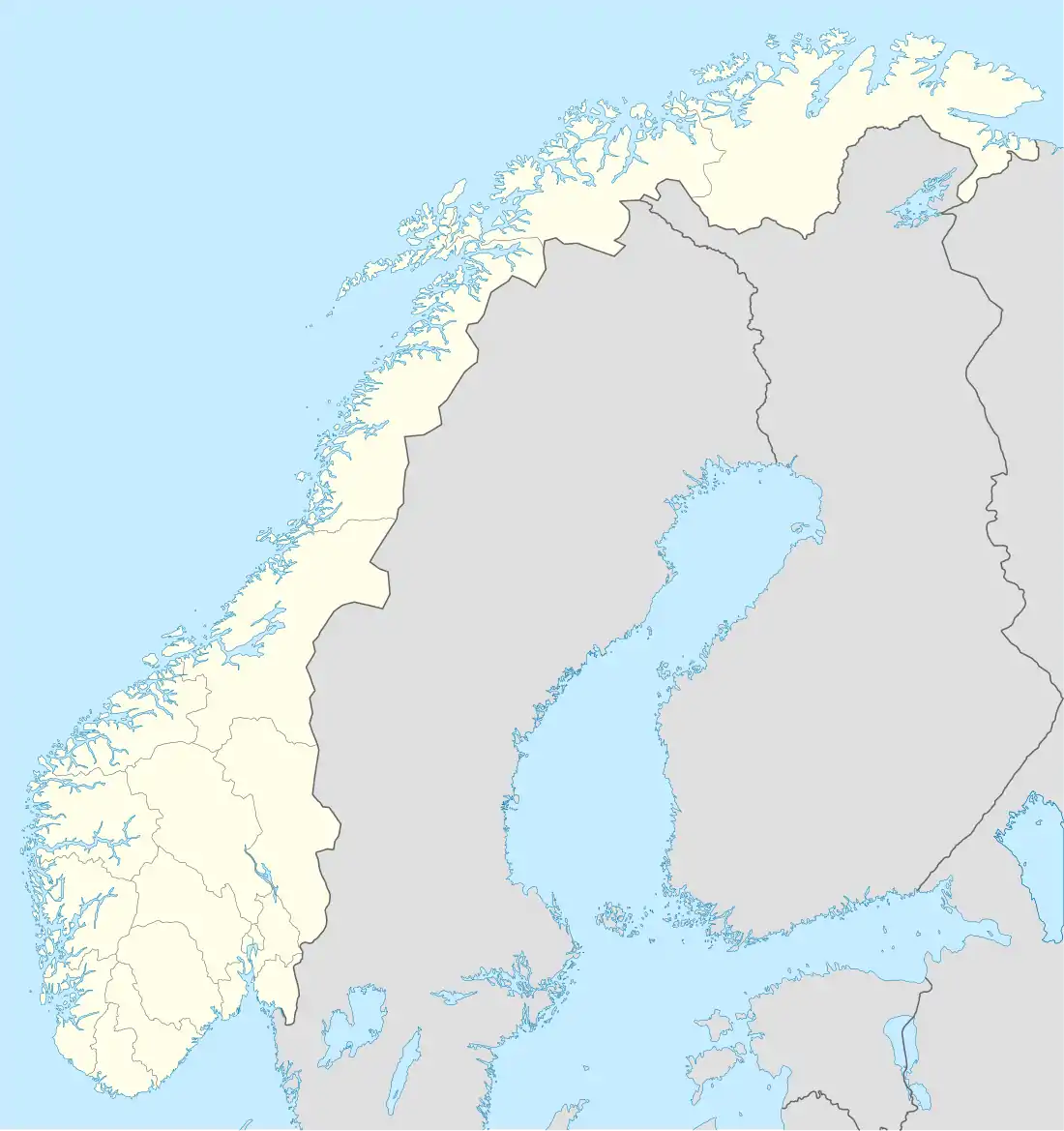 Linesøya Linesøya (Norway) | |
| Geography | |
|---|---|
| Location | Trøndelag, Norway |
| Coordinates | 64°00′49″N 9°55′00″E / 64.0136°N 09.9168°E |
| Area | 16.6 km2 (6.4 sq mi) |
| Length | 6 km (3.7 mi) |
| Width | 4 km (2.5 mi) |
| Highest elevation | 230 m (750 ft) |
| Highest point | Linesfjellet |
| Administration | |
Norway | |
| County | Trøndelag |
| Municipality | Åfjord |
.jpg.webp)
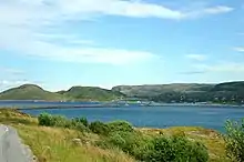
Linesøya and Frohavet
Linesøya is an island in the municipality of Åfjord in Trøndelag county, Norway. It lies about 3 kilometres (1.9 mi) off the coast of the mainland of Åfjord, and 1 kilometre (0.62 mi) southwest of the island of Stokkøya.[1] The 16.6-square-kilometre (6.4 sq mi) island also lies about 6.5 kilometres (4.0 mi) north of the smaller island of Lauvøya. The highest point on Linesøya is the 230-metre (750 ft) tall mountain Linesfjellet.[2]

View of Linesøya

Bridge between Stokkøya and Linesøya
After the completion in 2011 of the Linesøy Bridge between Linesøya and Stokkøya and the Stokkøy Bridge from Stokkøya to the mainland, there has been a ferry-free road to the mainland from Linesøya.[2]
See also
Linesøy Bridge
References
- ↑ "Linesøya" (in Norwegian). yr.no. Retrieved 2011-01-04.
- 1 2 Haugen, Morten, ed. (2012-01-01). "Linesøya". Store norske leksikon (in Norwegian). Kunnskapsforlaget. Retrieved 2018-03-06.
This article is issued from Wikipedia. The text is licensed under Creative Commons - Attribution - Sharealike. Additional terms may apply for the media files.