| Lüner Lake | |
|---|---|
 | |
 Lüner Lake | |
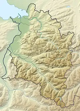
| Location | Vorarlberg |
| Coordinates | 47°3′9″N 9°45′11″E / 47.05250°N 9.75306°E |
| Primary outflows | Alvier |
| Basin countries | Austria |
| Max. length | 1,500 m (4,900 ft) |
| Max. width | 750 m (2,460 ft) |
| Max. depth | 139 m (456 ft) |
| Water volume | 0.156 km3 (126,000 acre⋅ft) |
| Settlements | Bludenz |
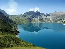
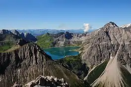
Lüner Lake (German Lünersee) is a large lake near the town of Bludenz in Vorarlberg, Austria.
The lake's depth was raised by 72 metres by the construction of a hydroelectric dam in 1958. The dam supplies water to four local power plants, Lünersee, Rodund I, Rodund II and Walgau. The lake is linked to the village of Brand by a cable car system, the Lünerseebahn.
Gallery
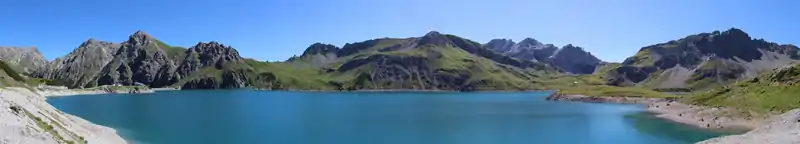
Panorama
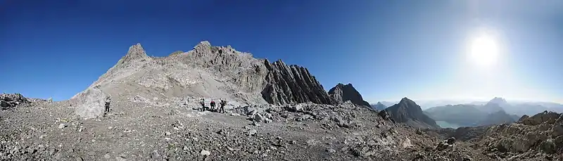
Panorama
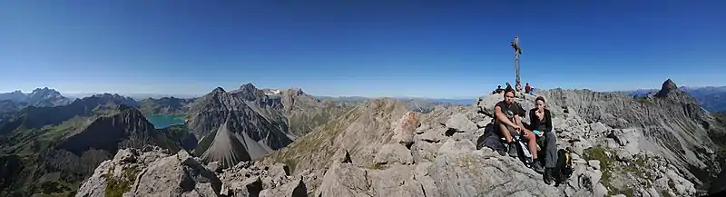
Panorama
External links
Wikimedia Commons has media related to Lünersee.
This article is issued from Wikipedia. The text is licensed under Creative Commons - Attribution - Sharealike. Additional terms may apply for the media files.